
29/10/2026
Climate Change and High-Altitude Safety: OGS Researchers Map Permafrost at 3,454 Metres
At an elevation of 3,454 metres on Austria's Groβglockner, geophysics is providing a practical tool to address one of the most critical consequences of climate change in high mountain environments: permafrost degradation and its potential impact on infrastructure stability.
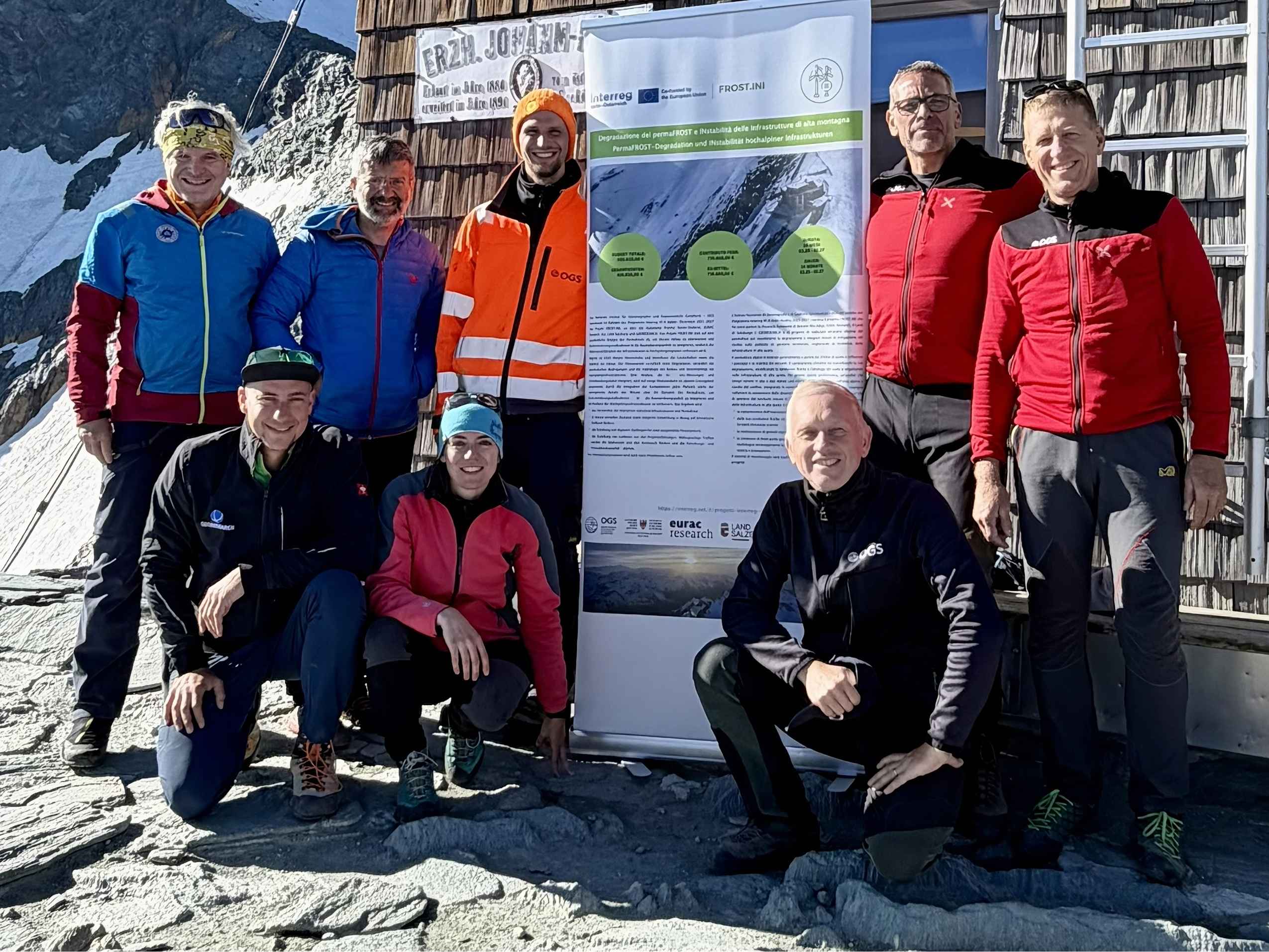
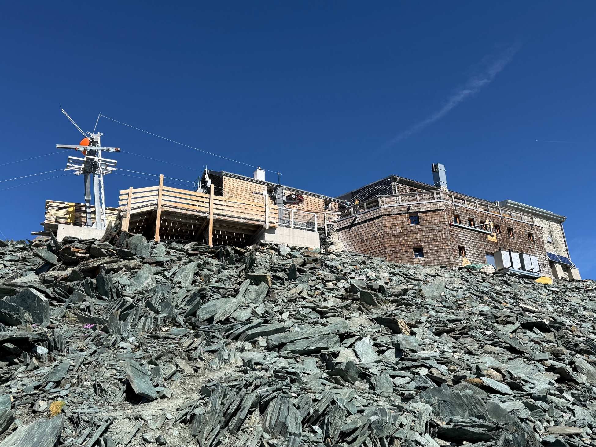
This was the objective of the survey campaign conducted by a team of researchers from the Section of Geophysics of the National Institute of Oceanography and Applied Geophysics - OGS, in collaboration with Austrian partners, as part of the Interreg FROST.INI project. At the Erzherzog-Johann-Hütte mountain refuge in Austria, the research team conducted a high-resolution three-dimensional geoelectrical survey to investigate the subsurface beneath the high-altitude mountain hut.
The survey facilitated the mapping of the distribution of permafrost beneath the refuge, thereby enabling the identification of a continuous permafrost body measuring approximately 10 metres in thickness. The findings of this study offer valuable insights into the structural instability that has been observed, and will inform the planning of any future reinforcement and safety measures.
"Alpine permafrost, defined as soil, rock and other materials that remain frozen for a minimum of two consecutive years, is typically encountered at elevations exceeding 2,500 metres. It exerts a substantial influence on the topography and the stability of slopes. The accelerating degradation of the terrain is being compounded by climate change, resulting in alterations to the physical conditions and hydrology of the ground. This, in turn, has a direct impact on high-altitude infrastructure. The objective of the FROST.INI project is precisely to address these challenges", explains Antonio Bratus, a researcher in the OGS Geophysics Section and the project's Scientific Coordinator.
FROST.INI (Degradazione del permaFROST e INstabilità delle Infrastrutture di alta montagna) is a cross-border cooperation project officially launched in March 2025 and funded by the Interreg VI-A Italy–Austria Programme 2021–2027. In addition to OGS, the project's main partners are the Autonomous Province of Bolzano – South Tyrol, Office for Geology and Material Testing; Eurac Research; the Office of the Salzburg Provincial Government, Department 6 – Infrastructure and Transport; and GEORESEARCH Forschungsgesellschaft mbH. The associated partners are as follows: ARPAV (Agenzia Regionale per la Prevenzione e Protezione Ambientale del Veneto), the Geological Service of the Autonomous Region of Friuli Venezia Giulia, and Tofana Srl.
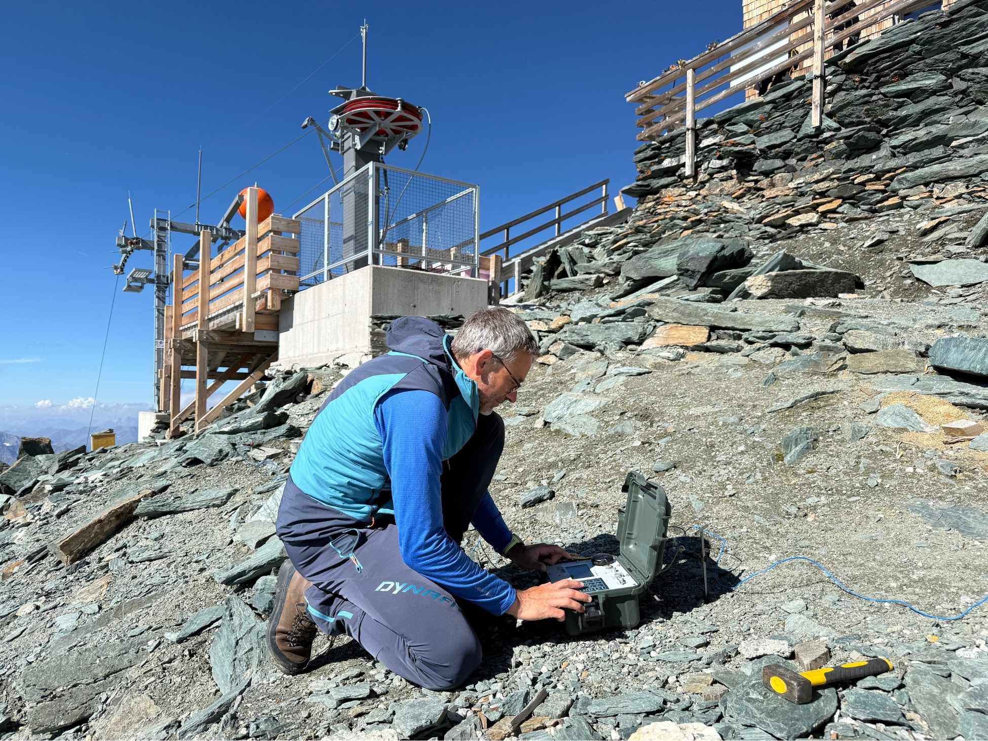
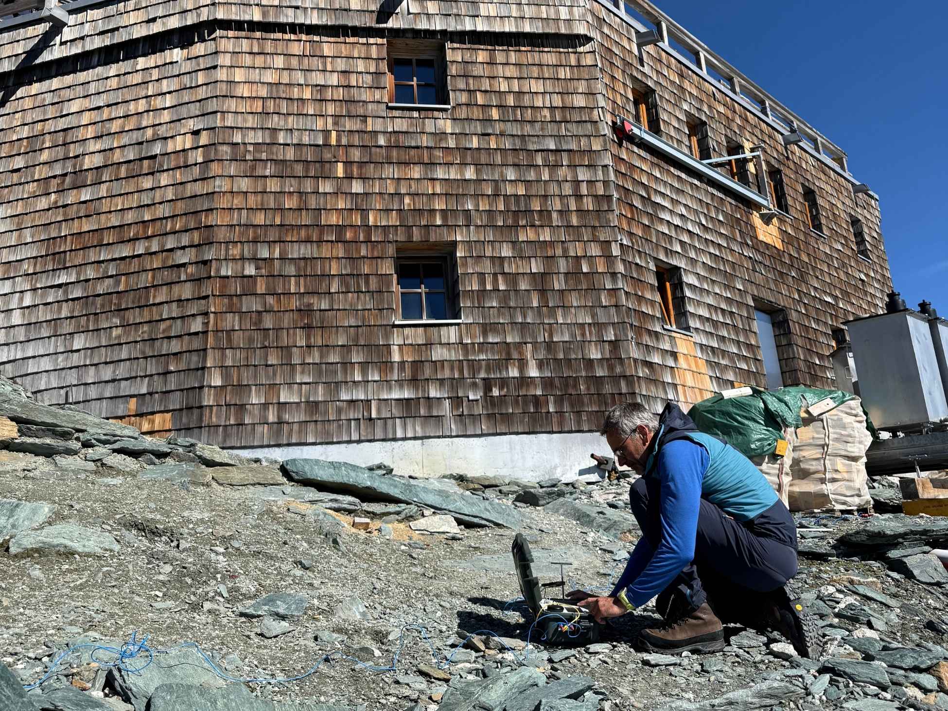
Francesca Bearzot, a researcher from the OGS Geophysics Section involved in the project, explains that "carrying out a three-dimensional geophysical survey at an altitude of 3,454 metres required specialised technologies and operational methods". "The environmental conditions, the presence of rugged terrain and rocky cliffs render the use of conventional geophysical equipment particularly challenging. In order to overcome these limitations, an advanced electrical resistivity tomography system was utilised, which facilitates data acquisition through a network of independent receivers, thereby significantly reducing the constraints that would otherwise be associated with laying cables", states Bearzot.
Furthermore, geoelectrical tomography facilitates the differentiation of subterranean materials based on their distinct electrical properties. This methodology enables researchers to detect the presence of ice in the ground and reconstruct its three-dimensional distribution. The resultant product is a true 3D map of the subsurface, enabling researchers to identify the geometry of the permafrost and the areas that may be most affected by degradation processes.
Rising temperatures can cause the active layer – the surface layer of ground that thaws seasonally – to deepen. In the longer term, this can lead to the warming and degradation of deeper permafrost. The process of thawing of ice contained within rock fractures and pores has the potential to induce changes in the mechanical properties of the ground, thereby increasing the risk of instability. This phenomenon can have deleterious consequences for infrastructure in high-mountain environments, including mountain huts, facilities and access routes. It is imperative to comprehend the distribution of permafrost and its evolutionary trajectory to mitigate the risk of ground instability and to formulate efficacious safety and stabilisation measures.
The work carried out on the Groβglockner provides a concrete example of how geophysical research can contribute to managing the risks associated with climate change. The comprehension of the structure and condition of permafrost facilitates the translation of scientific data into practical information, thereby supporting risk prevention and the protection of Alpine infrastructure.
View also