21/06/2022
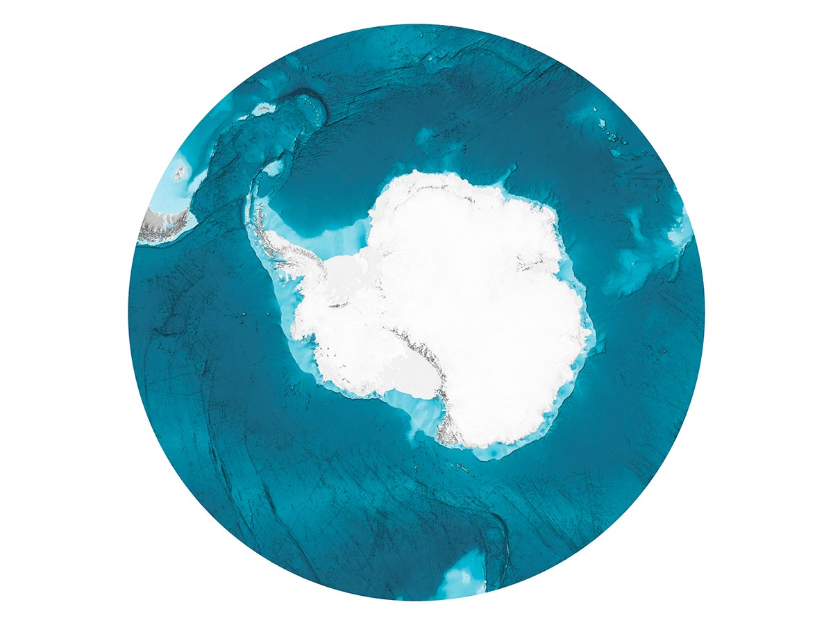
The new map of the seabed of the Southern Ocean has been published
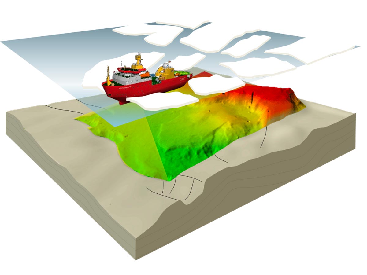
The OGS is among the organizations that participated in the compilation of the new version of the International Bathymetric Chart of the Southern Ocean (IBCSO), a digital database containing information on the depth of the Southern Ocean.
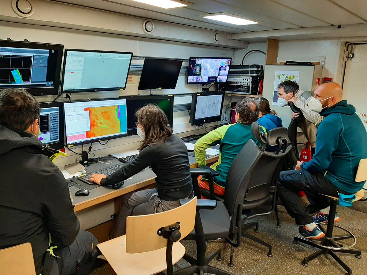
The missions on the research vessel OGS Explora in 2003, 2006 and 2017 are part of the activities of the National Research Program in Antarctica - PNRA and have made it possible to contribute to the IBCSO maps (v1 and v2) involving researchers from the OGS and other Italian research institutes, such as CNR ISMAR and the Hydrographic Institute of the Navy.
Link to the paper https://lnkd.in/eSZsCaeV