27/03/2026
OGS Completes Geophysical Surveys in Niscemi to Support Landslide Monitoring
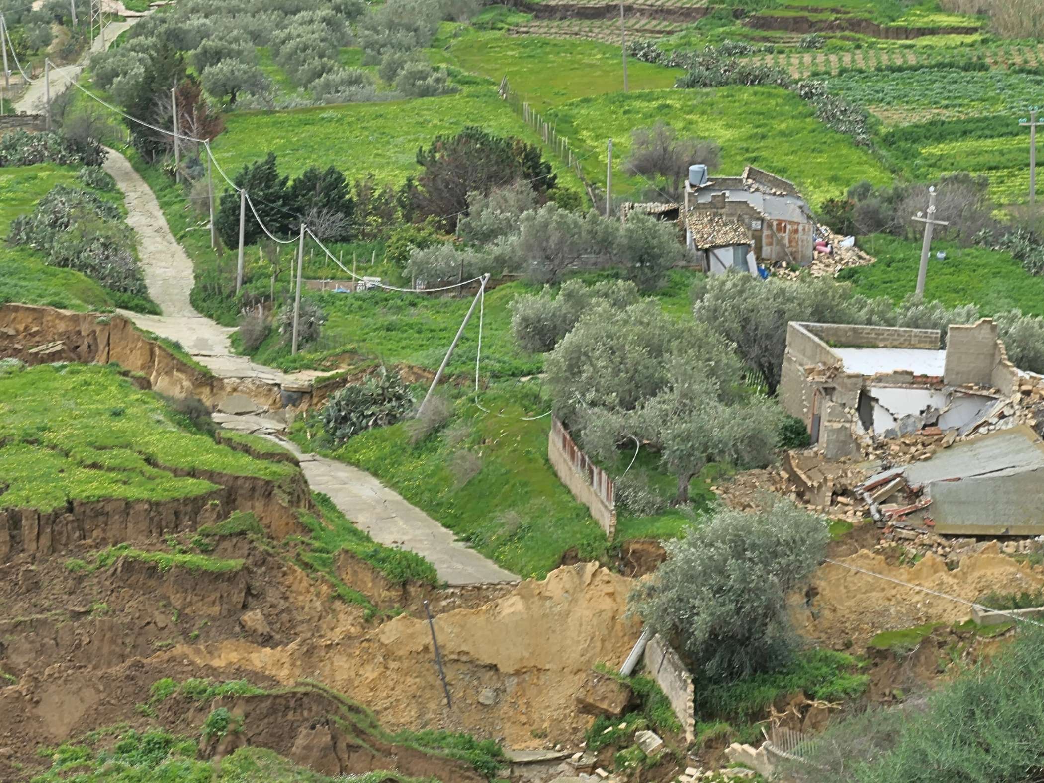
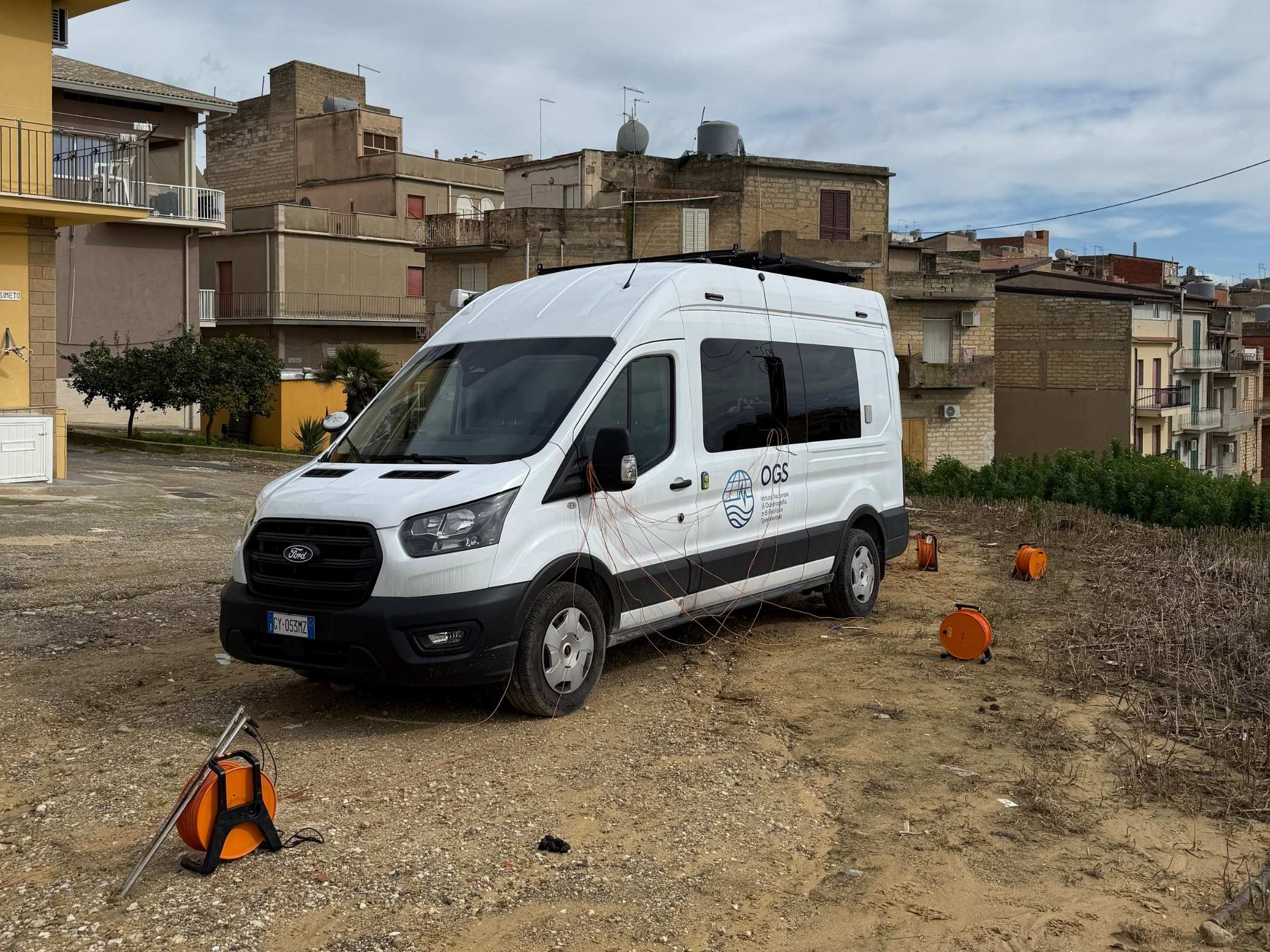
OGS has recently completed geophysical investigations in Niscemi, as part of a programme to monitor landslides that have affected the western and southern slopes of the Sicilian town.
The intervention represents a contributing element within the investigative and monitoring operations initiated at the behest of the Presidency of the Sicilian Region. These operations are being conducted in conjunction with the National Institute of Geophysics and Volcanology, along with the national and regional Civil Protection Departments.
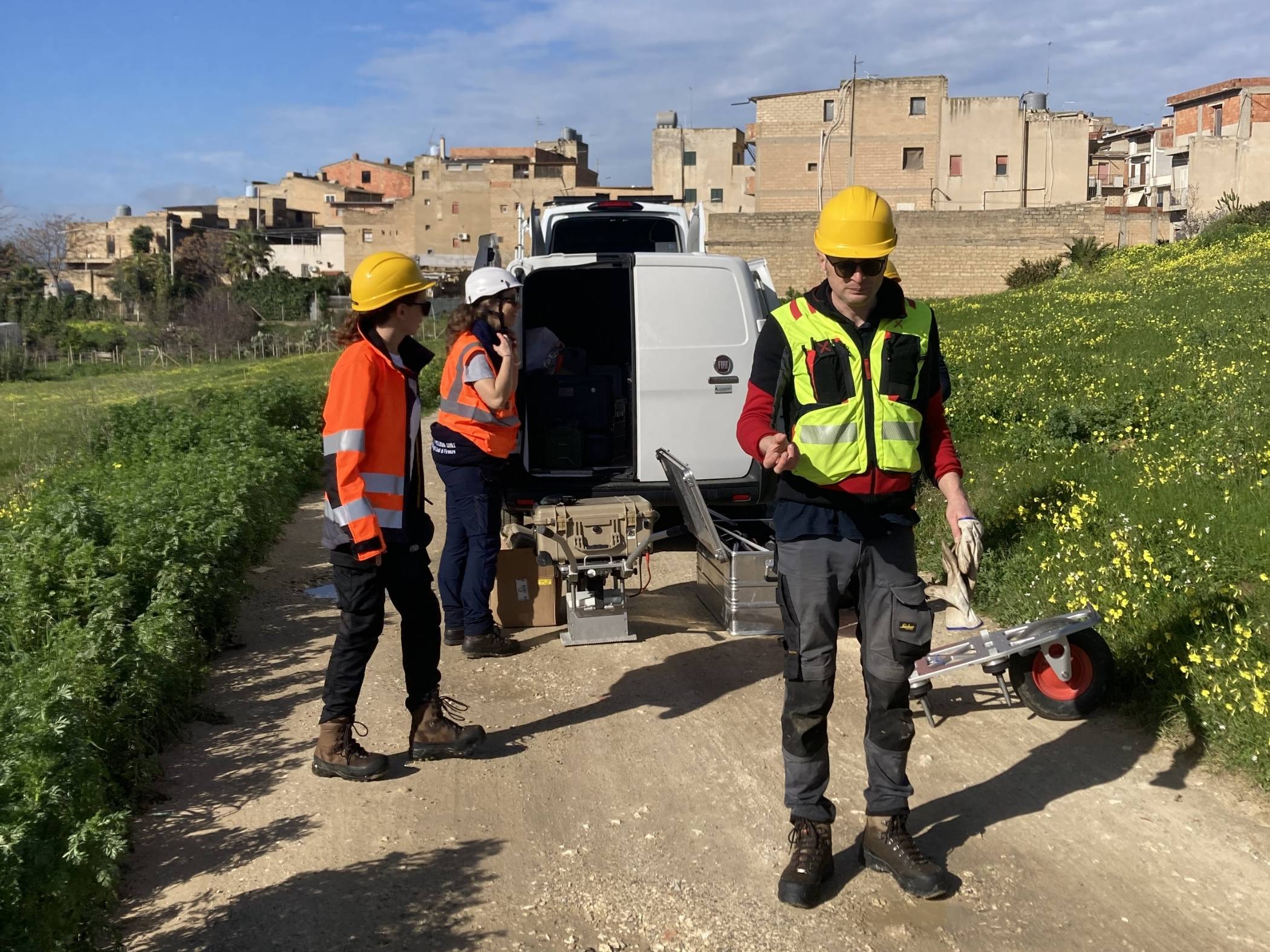
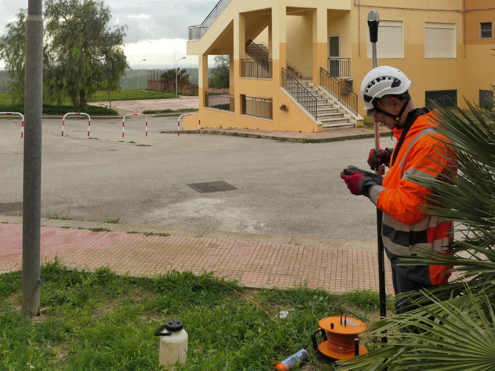
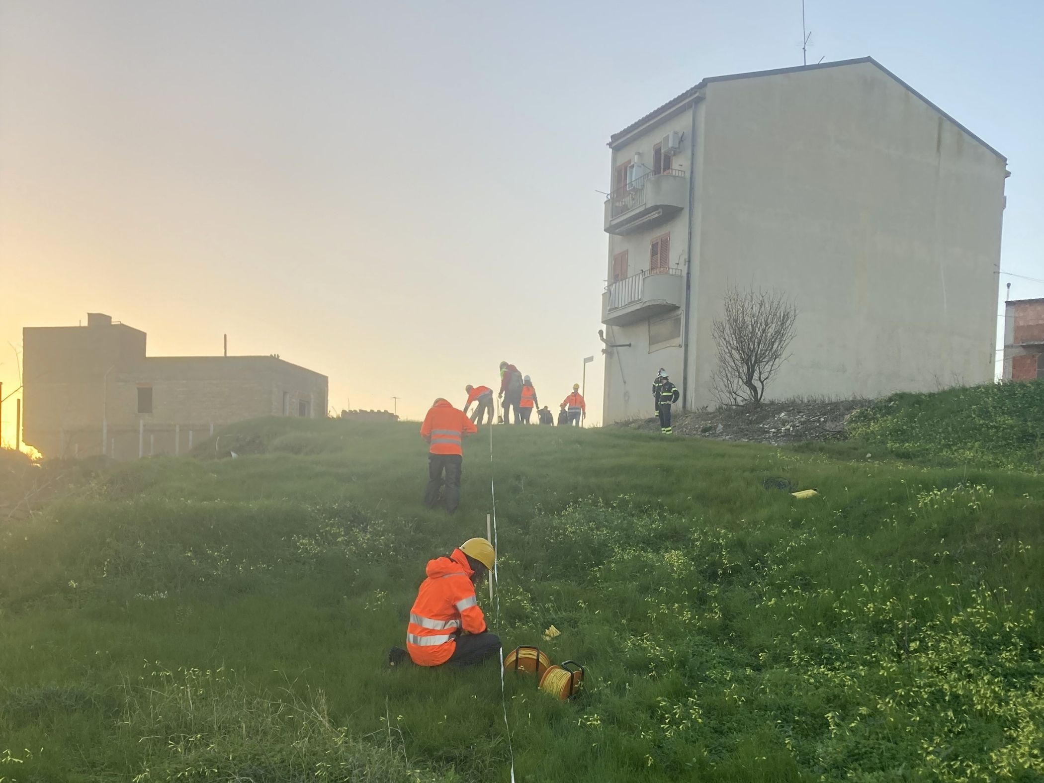
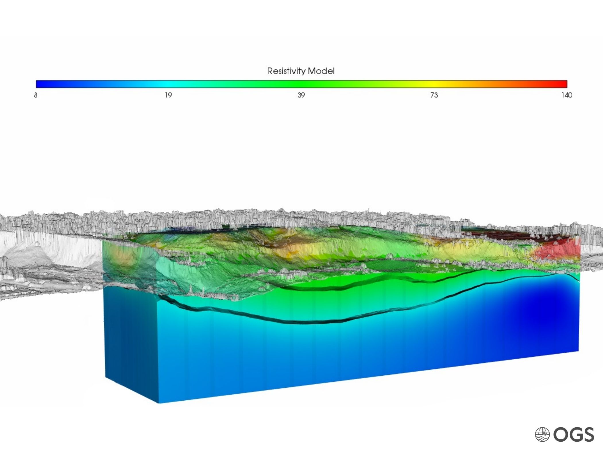
In detail, OGS conducted surveys using 3D electrical resistivity tomographies and high-resolution seismic investigations. These are essential tools for reconstructing subsurface characteristics, identifying potential slip surfaces and accurately defining the volumes involved in the landslide movement.
Despite operating in an area with restricted access due to safety constraints, the geophysical models enabled the reconstruction of a three-dimensional model of the subsurface, thus identifying a principal level of weakness within the Pliocene clays, in which the main landslide had developed. The results have been used to improve assessments of slope stability.
Once the initial emergency phase is complete, additional geophysical surveys in currently inaccessible areas will facilitate further consolidation of the interpretative framework.