The OGS was also involved in the IBCAO 5.0 project. It covers over 25% of the Arctic Ocean and offers four times the resolution of the previous version
This is according to a study involving OGS, the University of Trieste and the University of Oxford. The new findings were obtained using data from international seabed projects and public databases
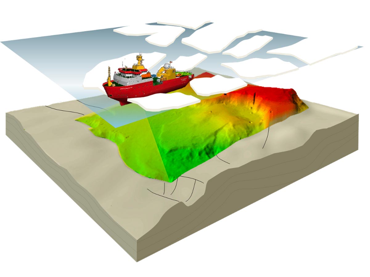
The OGS is among the organizations that participated in the compilation of the new version of the International Bathymetric Chart of the Southern Ocean (IBCSO), a digital database containing information on the depth of the Southern Ocean. The missions on the research vessel OGS Explora in 2003, 2006
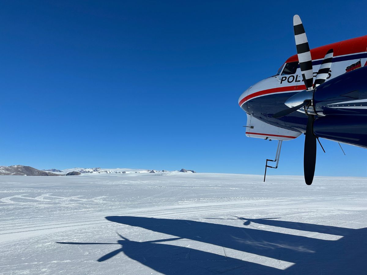
OGS also took part in the research coordinated by the RINGS Action Group of the Scientific Committee on Antarctic Research (SCAR), with the support of the Council of Managers of National Antarctic Programs (COMNAP)
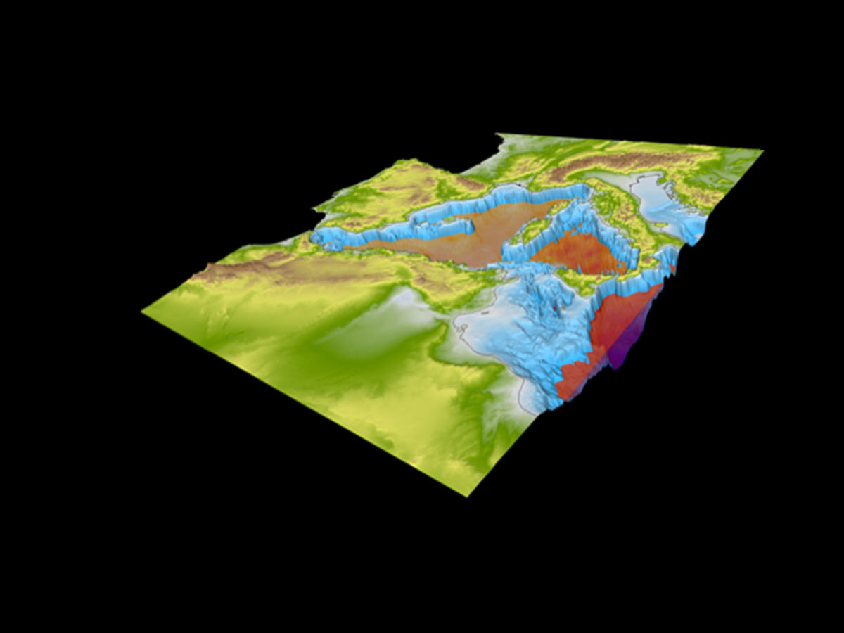
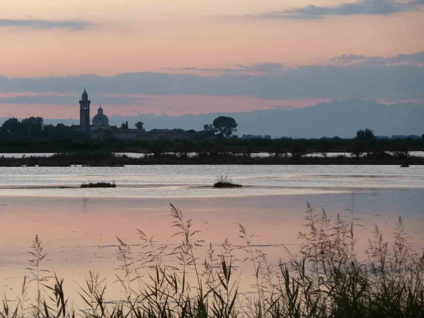
A study by OGS and the University of Southampton’s Department of Archaeology reconstructs the landscape evolution of the Upper Adriatic between 9000 and 4000 BC.
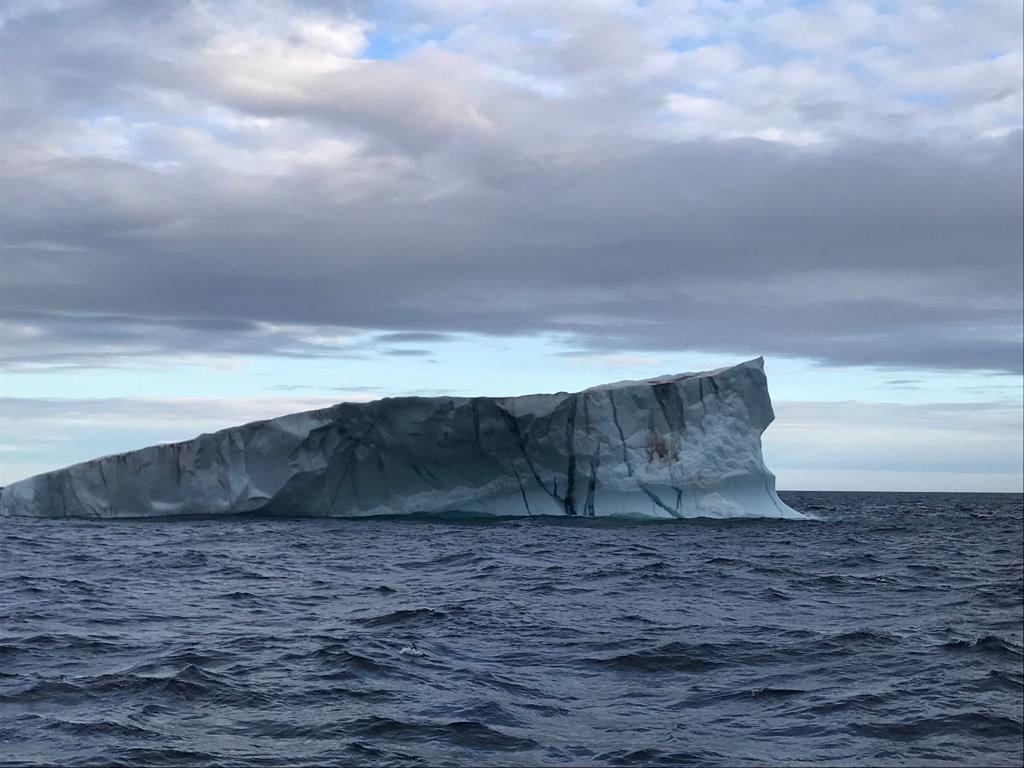
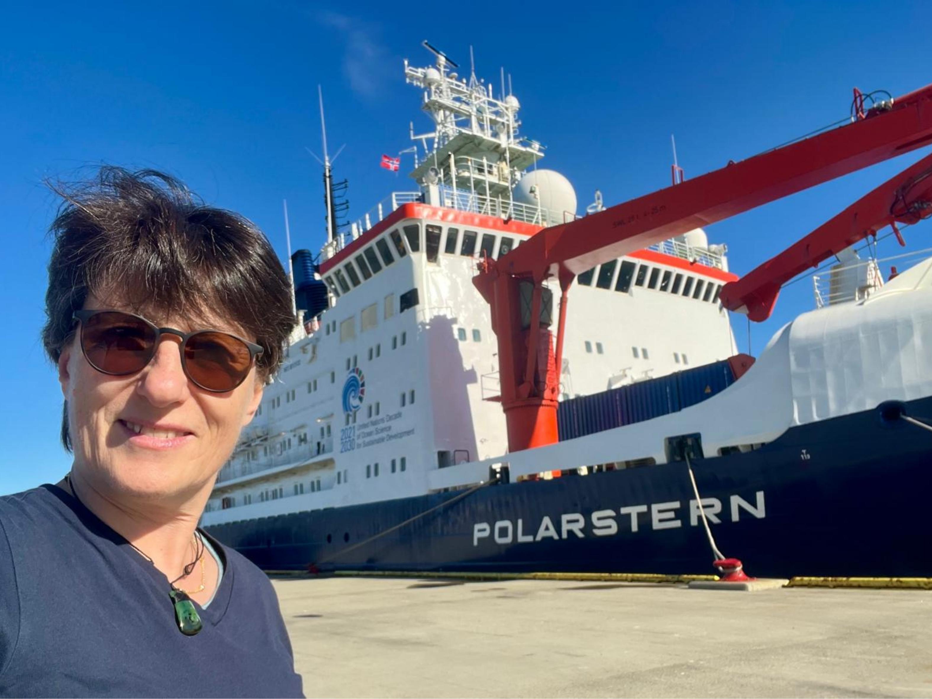
OGS researcher Renata G. Lucchi, together with an international team, will spend approximately two months conducting geophysical surveys and geological, oceanographic and cryosphere sampling in the Arctic
Over the next three years, CO2SITE will collect and integrate technical, economic, and regulatory data on potential storage sites, providing an advanced tool to assess their feasibility, risks, and investment opportunities
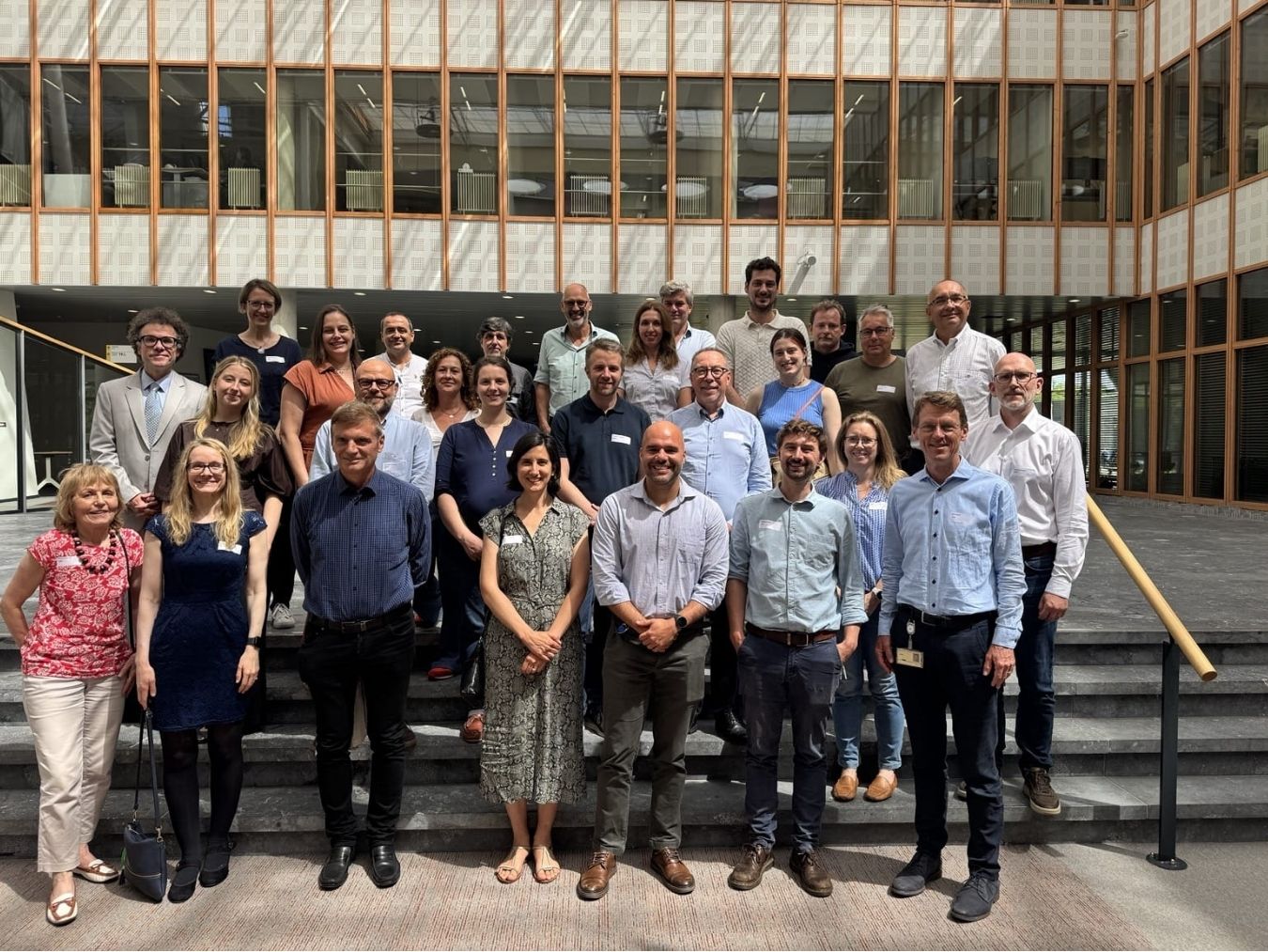
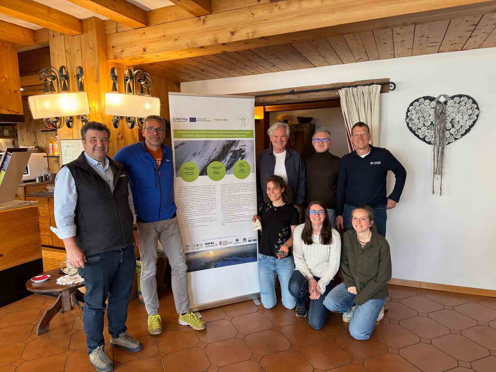
Innovative techniques, digital twins, and best practices to protect high-altitude infrastructure were presented as part of the project coordinated by OGS